Synthetic Aperture Radar is unique in assessing and mapping the 3D structure of natural scatterers due to the physical ability of microwaves to penetrate into and through lossy media, as for example vegetation and ice, and the technological capacity to acquire images with high spatial and temporal resolution. Interferometric and tomographic SAR implementations today allow the reconstruction of the 3D scattering processes from a set of acquired 2D images and the derivation of a number of unique parameters, as well as information products relevant to a wide range of scientific and commercial applications.
This talk aims to provide an overview of recent advances and developments in 3D imaging using innovative imaging techniques and inversion methods. Results from recent experimental campaigns will be discussed as well as the projection to current and future spaceborne SAR missions.

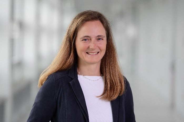
Irena Hajnsek is since November 2009 Professor of Earth Observation at the Swiss Federal Institute of Technology (ETH) Zürich Institute of Environmental Engineering and at the same time head of the Polarimetric SAR Interferometry research group at the German Aerospace Center Microwaves and Radar Institute. Her main research interests are in electromagnetic propagation and scattering theory, radar polarimetry, SAR and interferometric SAR data processing techniques, environmental parameter modelling and estimation. She received her Dipl. degree in the topic of fluvial river systems (Honors) in 1996 from the Free University of Berlin, Germany and the Dr. rer. nat. degree (Honors) in model-based estimation of soil moisture from fully polarimetric Synthetic Aperture Radar in 2001 from the Friedrich Schiller University of Jena, Germany. Since 2010 she is the science coordinator of the German satellite mission TanDEM-X. Currently she is a member of the European Space Agency Mission Advisory Group for the ROSE-L Mission. She was Technical Program Co-chair of the IEEE IGARSS 2012 in Munich, Germany and 2019 in Yokohama, Japan. From 2013 to 2021 she was a member of the IEEE GRSS AdCom and from 2016 to 2020 the vice president of the IEEE GRSS Technical Committees. She is the founder of the new Technical Committee Remote sensing Environment, Analysis and Climate Technologies (REACT) that exists since Nov 2021. She won 10 highly recognised awards, among them five best paper awards (VDE EUSAR 2018, VDE EUSAR 2008, IEEE Transactions Geoscience and Remote Sensing 2008, ESA POLinSAR Wolfgang Boerner Award 2019, IEEE GRSS J-STARS Prize Paper Award 2019), three very prestigious awards in recognition of the scientific work done in the last five years (DLR Wissenschaftpreis, IEEE W.R.G. Baker Paper Award and DLR Senior Scientist), certificate in recognition to the achievements in the design and execution of a German satellite mission TanDEM-X and she have been awarded as a IEEE Fellow (2014) for her innovative research work in remote sensing. Further she serves as an Associate Editor of IEEE Journal of Selected Topics in Applied Earth Observations and Remote Sensing.
The frequency and intensity of natural disasters has increased over recent decades. In particular floods of rising severity cause loss of life, destruction of buildings and infrastructure, erosion of arable land, and environmental hazards around the world. During and after a flood event, rapid response is essential which requires knowledge which areas are affected or at risk and which parts of the infrastructure are still accessible. Remote sensing plays a pivotal role obtaining this information to predict flood risk, detect flooded areas, monitor the development of floods, and perform damage assessment. This talk highlights several corresponding challenges and presents state of the art approaches to address them in particular in the context of deep learning.

Ronny Hänsch received the Diploma in computer science and the Ph.D. degree from the TU Berlin, Berlin, Germany, in 2007 and 2014, respectively. He is a scientist at the Microwave and Radar Institute of the German Aerospace Center (DLR) where he leads the Machine Learning Team in the Signal Processing Group of the SAR Technology Department. He continues to lecture at the TU Berlin in the Computer Vision and Remote Sensing Group. His research interest is computer vision and machine learning with a focus on remote sensing (in particular SAR processing and analysis). He served as chair of the GRSS Image Analysis and Data Fusion (IADF) technical committee and as editor of the GRSS eNewsletter, serves as co-chair of the ISPRS working group on Image Orientation and Sensor Fusion, editor in chief of the Geoscience and Remote Sensing Letters and associate editor of the ISPRS Journal of Photogrammetry and Remote Sensing, organizer of the CVPR Workshop EarthVision (2017-2024) and the IGARSS Tutorial on Machine Learning in Remote Sensing (2017-2024). He has extensive experience in organizing remote sensing community competitions, serves as the GRSS representative within SpaceNet and was the technical lead of the SpaceNet 8 Challenge.